Roadway in PG County Solves Stormwater Problem Instead of Creating One
The PaveDrain permeable pavement system is a next generation permeable surface. The presence of open joints in the system leads to higher water infiltration rates, and reduced maintenance compared to other permeable pavements.
The Site
A 2,350 ft2 PaveDrain system was installed at the intersection of 40th Avenue and Newark Road in the right-of way. This intersection is property of the Town of Colmar Manor (MD). This area is part of the Anacostia River basin, which is subject to a TMDL (Total Maximum Daily Limit) for TSS (total suspended solids).
Stormwater Permitting
Permit drawings show that this stormwater management structure will receive drainage from 8,705 ft2 —a run-on ratio of 2.7:1. The site was excavated to ~4 feet below grade. The base was then placed from the bottom: 12” clean sand, 24” of #2 stone, 4” of #57 stone, with a PaveDrain surface (Figure 2). A mid-drain was installed in the system, which is converted to an overdrain at its outfall within the manhole. Details on the site are provided in Table 1.
Table 1. Stormwater BMP Summary Table as per Approved Permit
| SWM Area (ft2) | Drainage Area (ft2) | Run-On Ratio | Target PE (in) | Target Vol (ft3) | Design Vol (ft3) using ESD practices | Max ESD Vol (ESD max) (ft3) | RCN |
| 2,350 | 8,705 | 2.7:1 | 1.00 | 214 | 376 | 376 | 89 |
Soil Characterization
After excavation was completed, three soil samples were taken (Figure 3) to characterize the soil into which the water will infiltrate. The three samples showed a variable soil base, characterized as 1) Gray SILT [ML] {USDA – LOAM} 2) Brown silty SAND [SM] {USDA – SAND}, and 3) Gray lean CLAY [CL] {USDA – SILTY CLAY LOAM}. These samples fall into Hydrologic Soil Groups (HSG) A, B, and D, respectively. This agrees with permitting, as per Prince George’s County Department of Permitting, Inspection and Enforcement, which classified the soil per the lowest HSG of D.
Sensoring
The installation was completed in April 2021. After construction was completed, an INFIL-Tracker system (in-situ water-level monitoring) from P4 Infrastructure, Inc. was placed vertically in the base to collect the water level point several times a minute, with data reported to the cloud every 10 minutes (Figure 3). A rainfall and environmental monitoring system was also placed nearby to get a granular report of rainfall that would match to the data collected by the water sensor. The sensors are connected via cellular signal, and regularly report measurements to the cloud.
Performance
20″+ of stormwater was captured and exfiltrated through a stone and sand media permeable pavement gallery in each of three rain events in September through November (see image below). Sure looks like a stormwater infiltration device to me. Data doesn’t lie.

Monitoring is ongoing at this site. We have partnered with the Dr. Allen Davis at The University of Maryland to further study this installation
This is not an isolated example either: Cudahy, WI was able to save 91% while complying with their stormwater permit.
Interested in learning more and getting a PDH: Click Here

VP of Business DevelopmentAaron Fisher
Latest News

Saving on School Construction
A new school is a big financial and community investment. It makes a community more attractive to students, teachers, families, […]
Insurance: Impacted by Material Choices
With the increased risk of disasters and the cost of construction; insurance costs are up. But, they aren’t going up […]
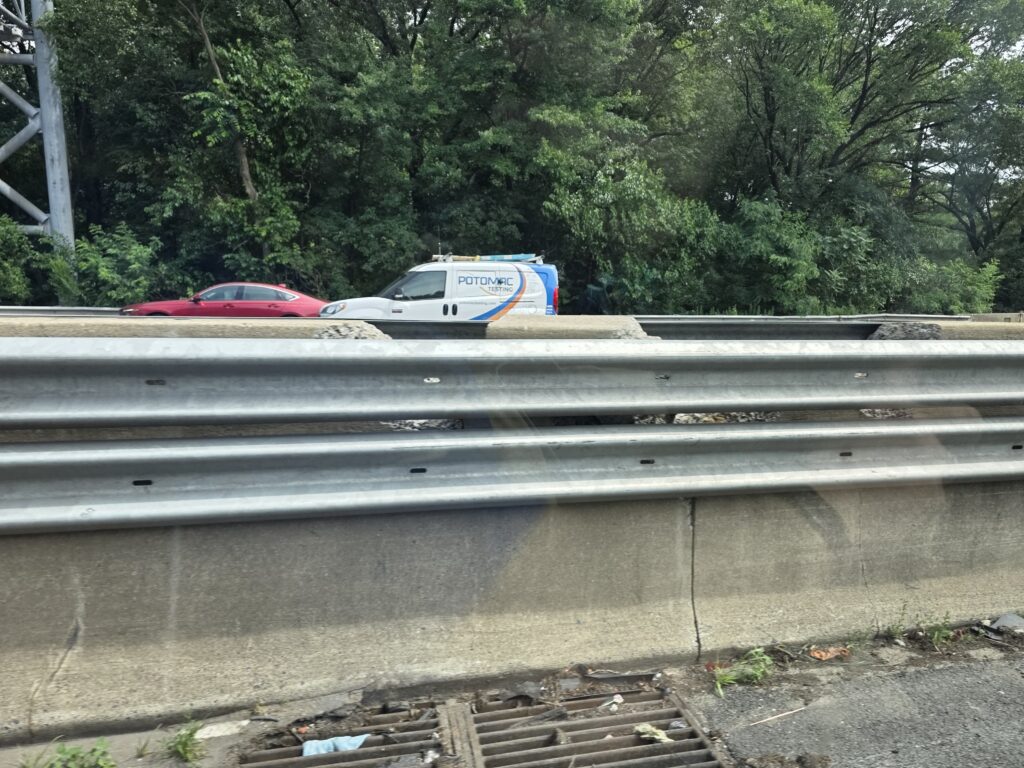
Wastefully Fixing Traffic Barriers
On I-495 and I-270, MDOT has been stapling Steel W-Beam Barriers to crumbling concrete barriers. What happened to these barriers? And […]

Building for Tomorrow, Today
Every building or structure has a designated lifetime: 30 years, 50 years, 100 years. However what happens when the conditions […]